If you search for Matterhorn trail on Google Maps or google, you will get some confusing results. It starts from Zermatt and takes you to a dead end and then you have to return back. In this guide, I will cover a route that takes you to a few nice spots with Matterhorn in view almost all the time.

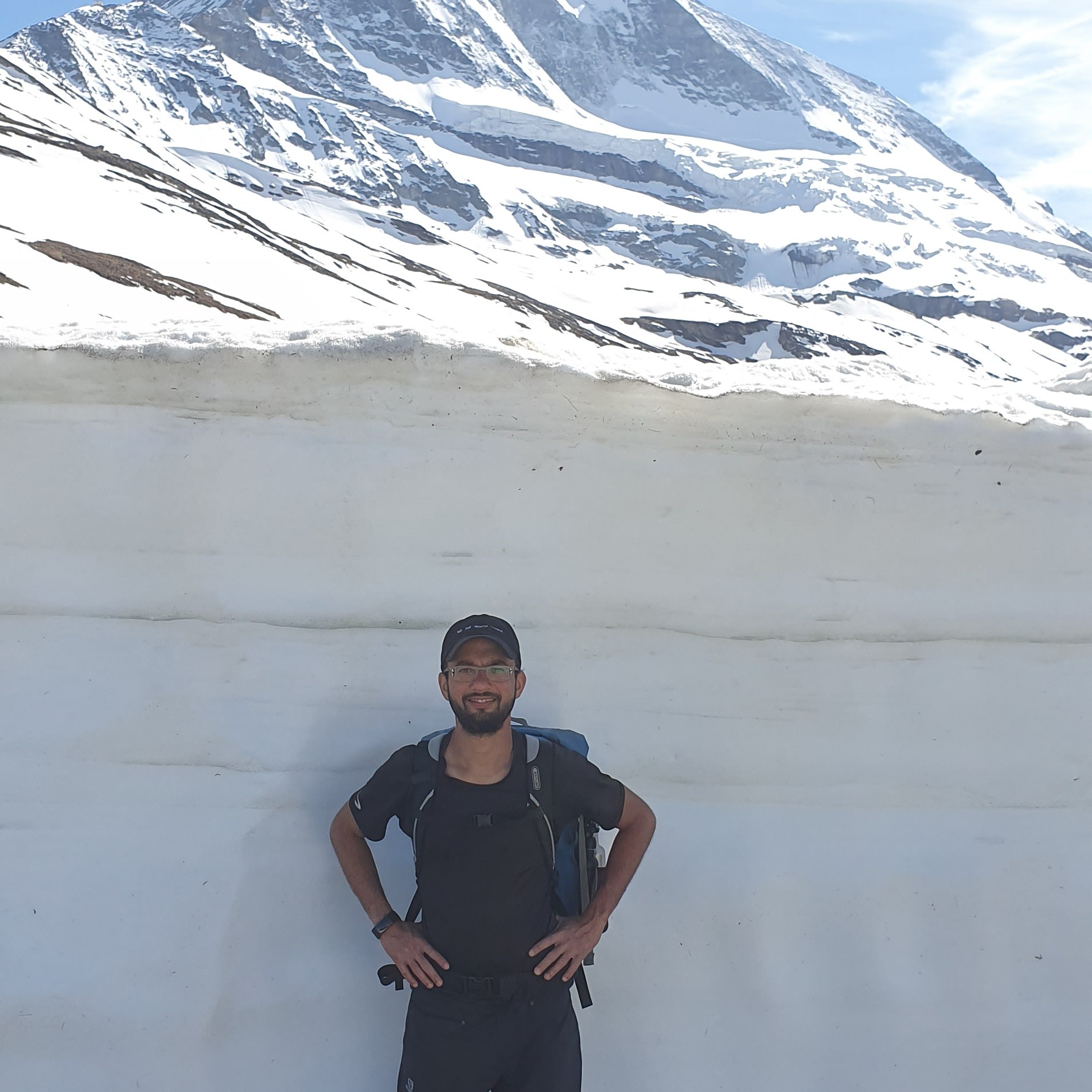
I did this trail two times in end of May / beginning of June and suggest this time as it’s almost empty because of snow. You will need sturdy hiking shoes and water proof trousers as you may have to hike through snow. Depending on your level, this hike should take between 6 – 8 hours. It’s a one way hike and on the way back, you take cable cars back to town of Zermatt.
You can divide route in four stops
- Zermatt
- Zmutt dam
- Schwarzsee
- Trockener Steg
Zermatt to Zmutt dam
You will be starting from town of Zermatt near the lift. Keep on the right of river and start hiking through fields. You will passing through a very nice clean trail. You can see sheep on the trail from time to time.


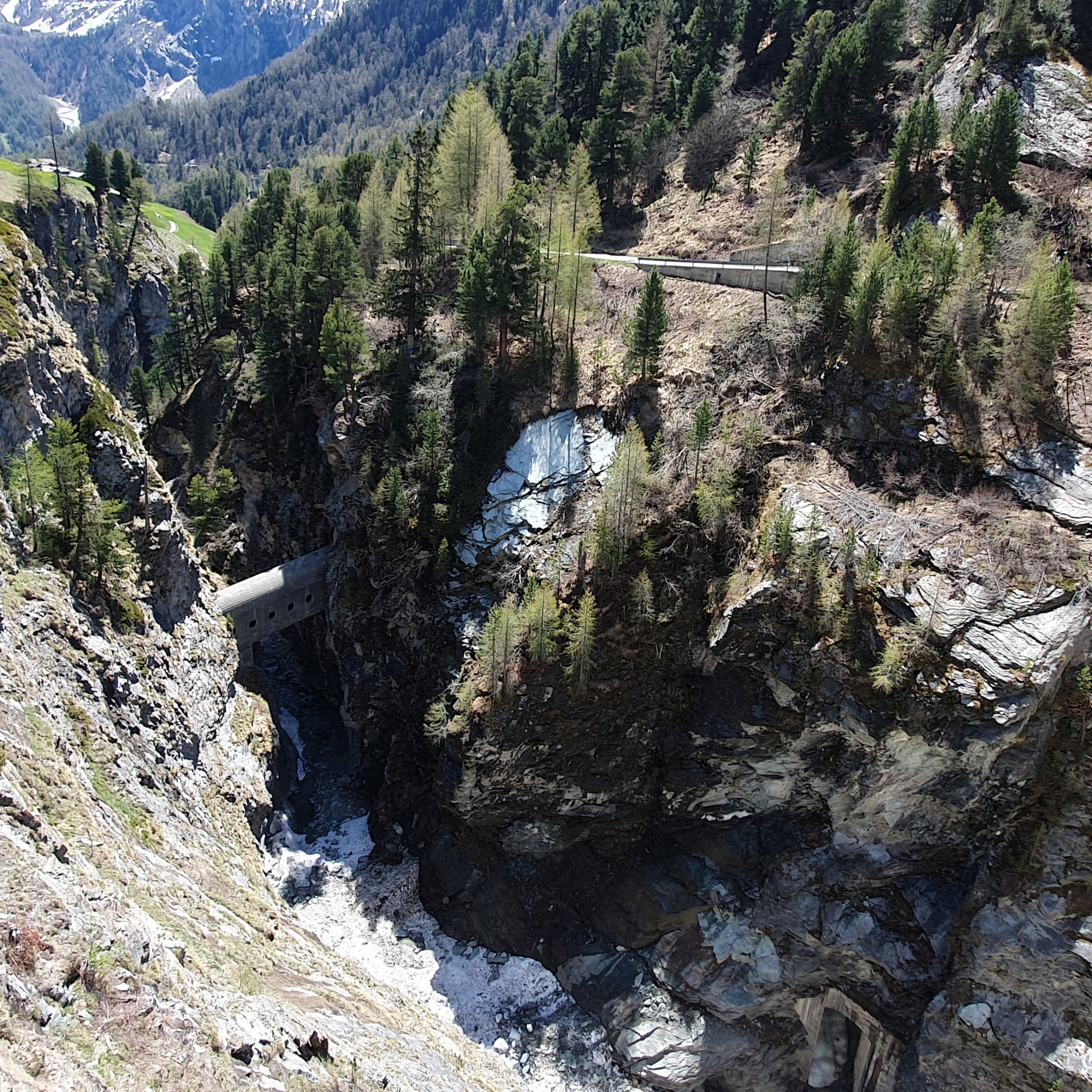
It’s a ~4.5 kilometer hike with elevation gain of ~350 meters. With stops to take photos, you should be able to do in 1.5 – 2 hours. You first stop is Zmutt dam. Make a stop on the bridge over 74 meter tall damn that retains the water of the Zmutt Glacier and the Zmuttbach river.

Zmutt dam to Schwarzsee
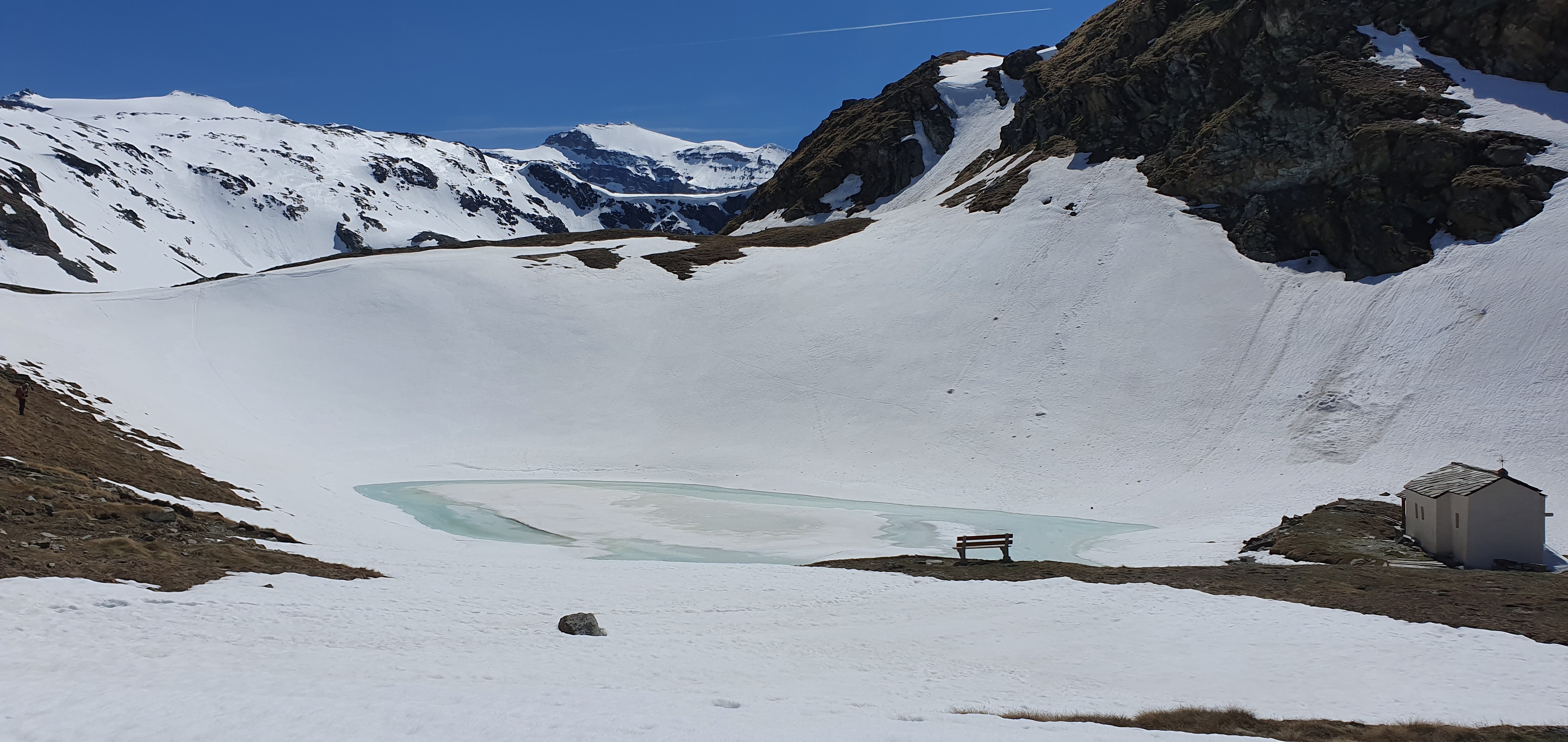
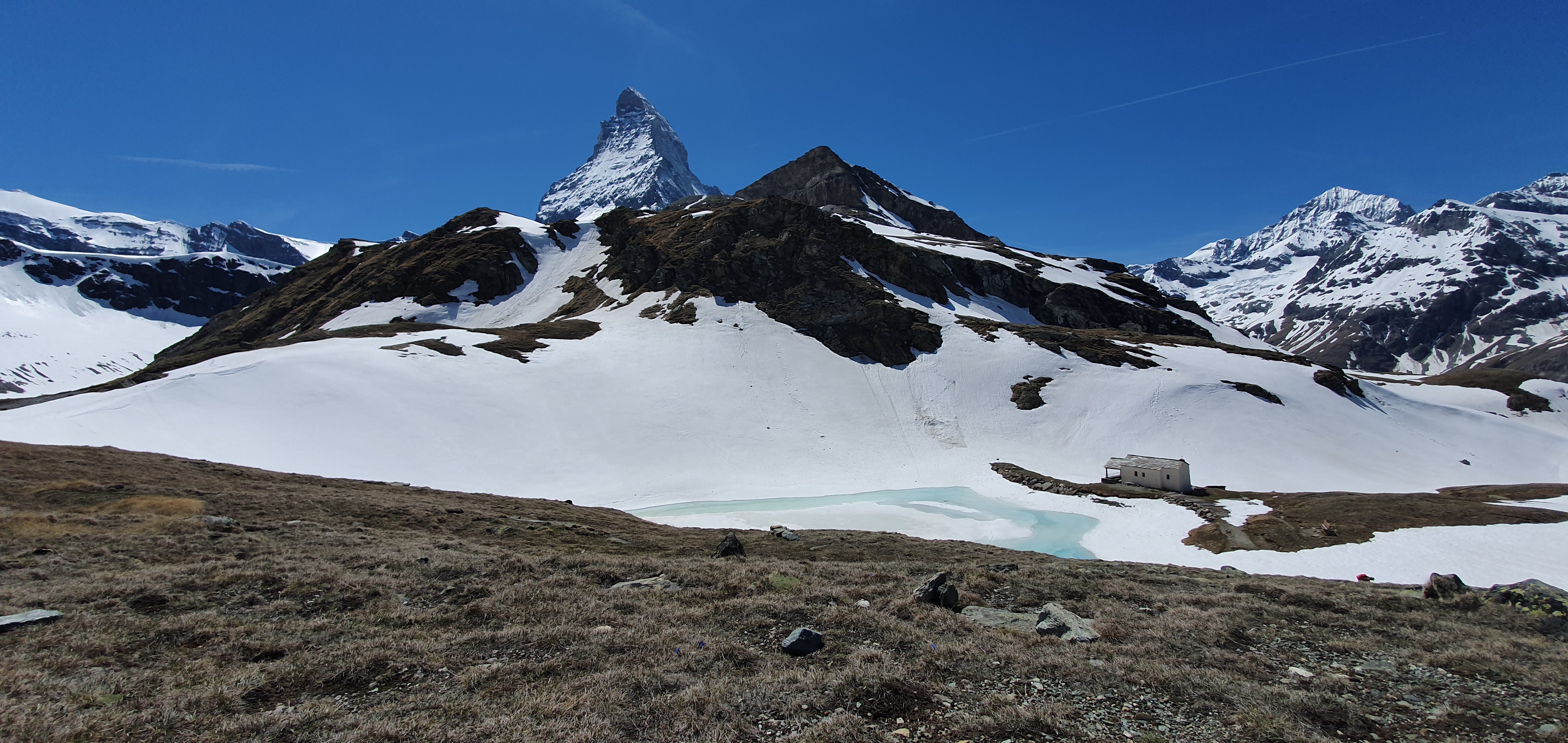
Schwarzsee located at 2,583 meter would be your 2nd stop. It is the starting point for ascents of the Matterhorn and for the Matterhorn glacier Trail. From Schwarzsee, you can see the whole valley and village of Zermatt stretching out below.
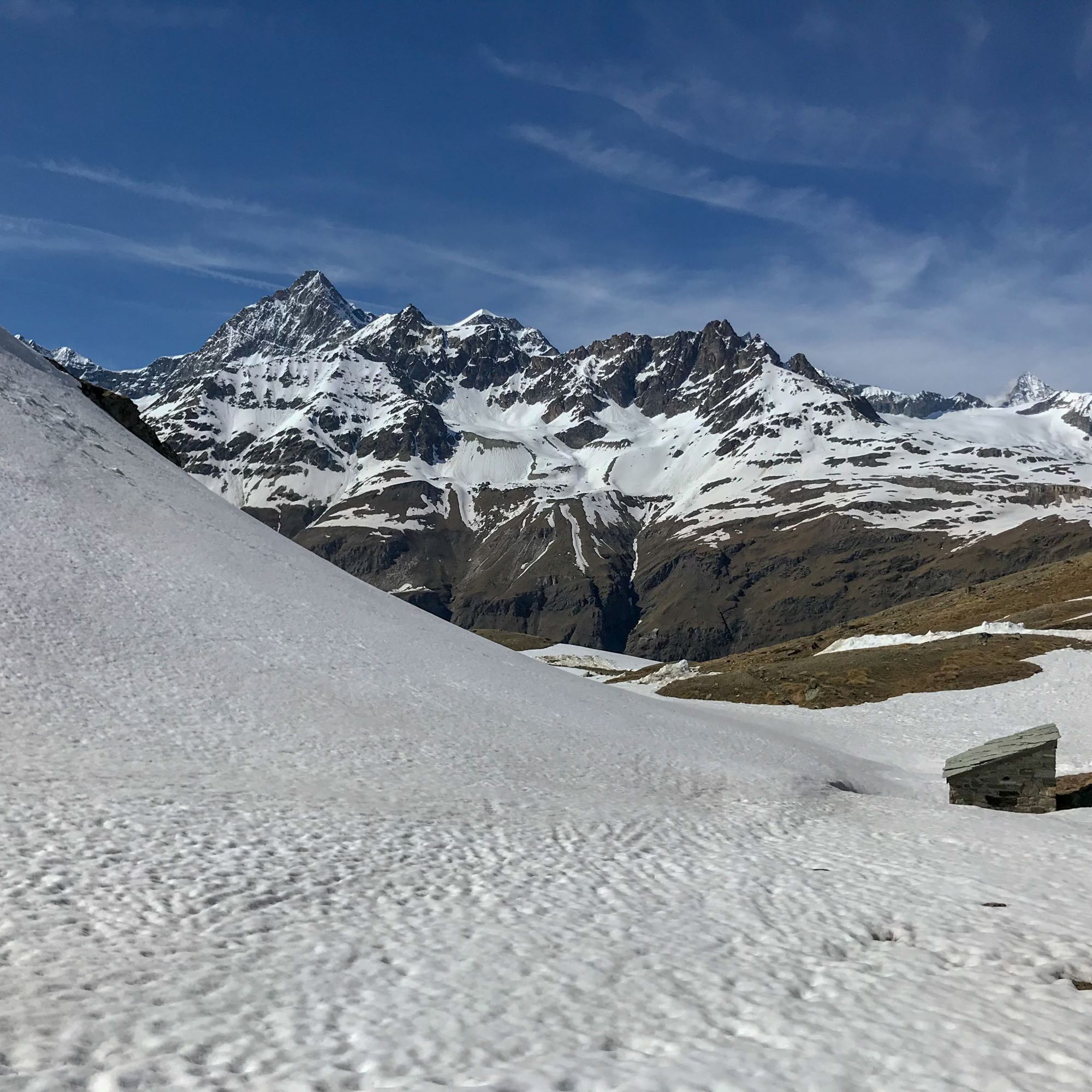
The trail from Zmutt dam to Schwarzsee also offers nice views. Depending on which time of the year, there can be snow on the trail. It’s ~5 kilometers long with elevation gain of ~580 meters.

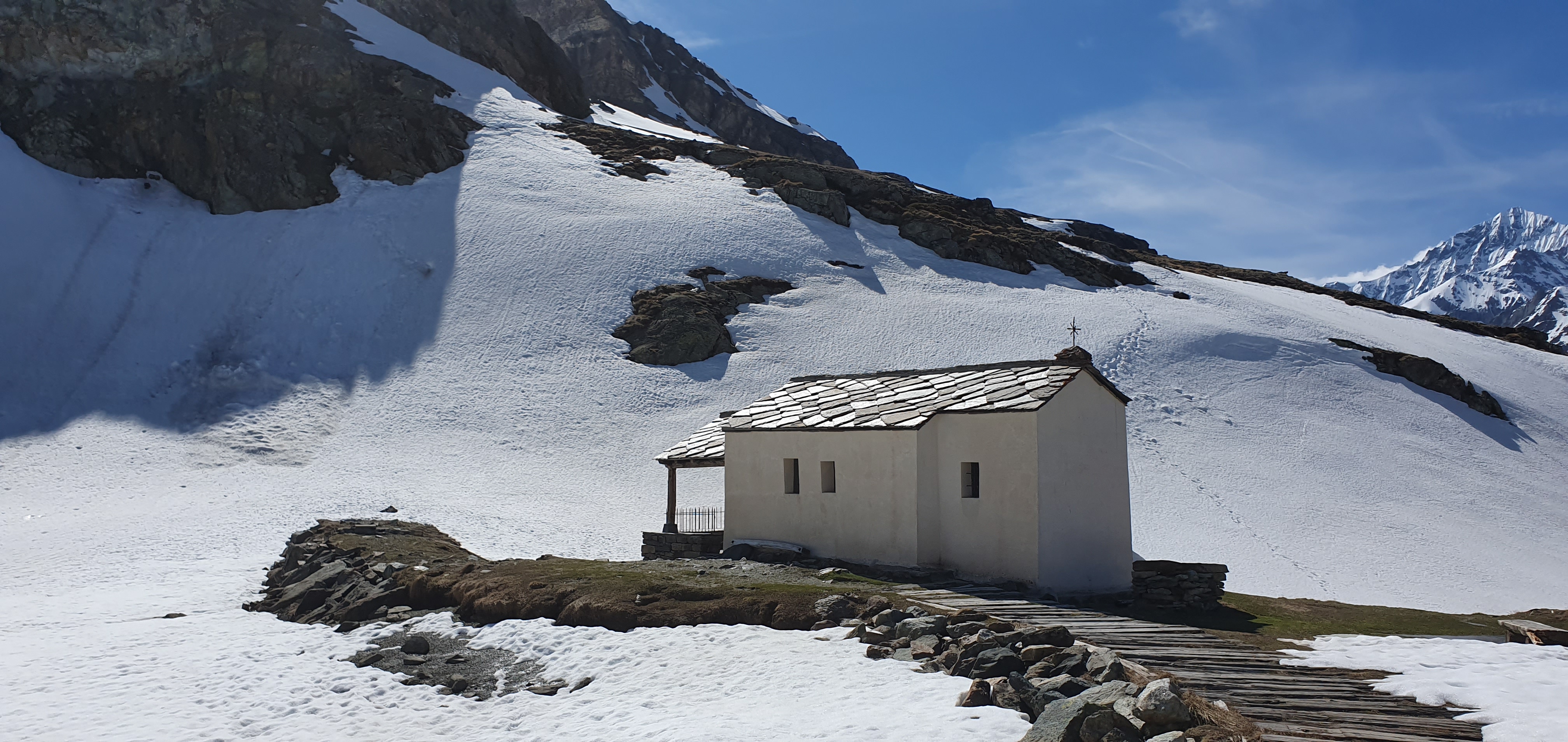
The Schwarzsee lake lies in a hollow. A small chapel, “Maria zum Schnee”, stands on its shores; many mountaineers stop by after a successful ascent of the Matterhorn to give thanks.
I suggest to grab lunch here before you head on to the remaining journey!
Schwarzsee to Trockener Steg
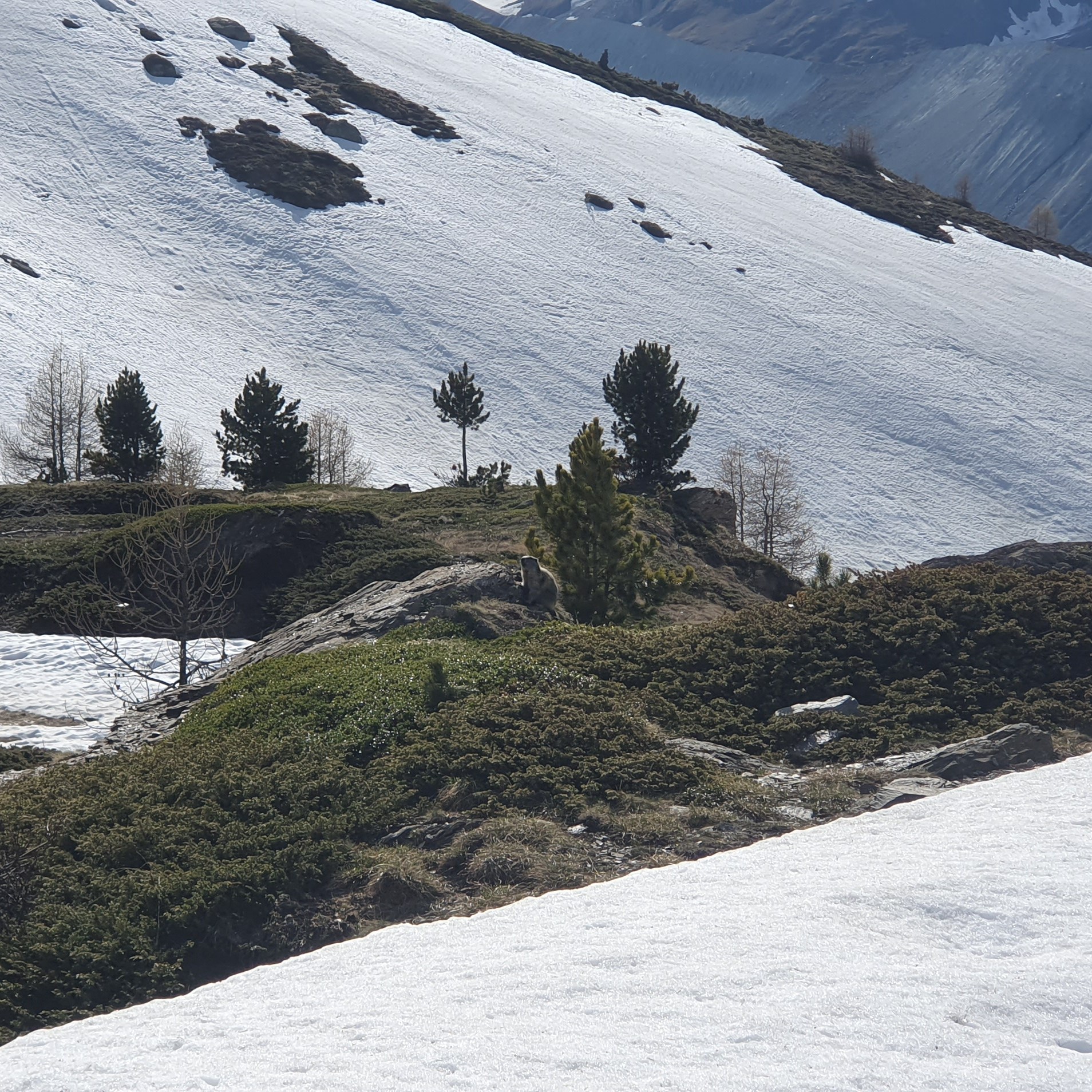
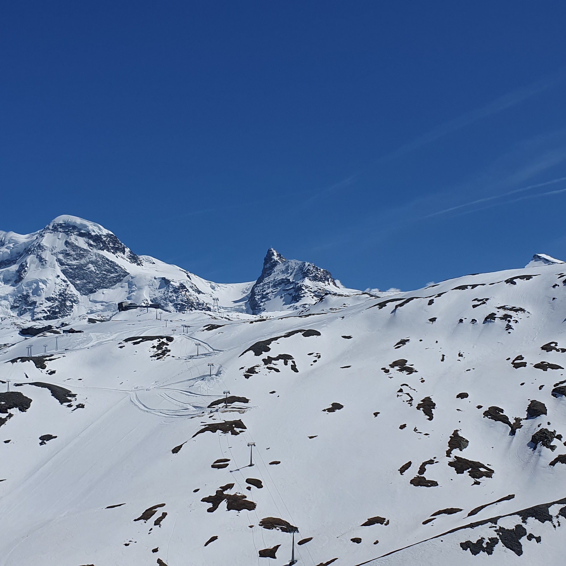
Now you will hiking Matterhorn Glacier Trail. It’s another ~6.5 kilometers hike with elevation gain of 377 meters. The views on the trail are alpine landscape of boulders and scree is scattered with streams and lakes. On th way you will also see traces left by the retreating glaciers. This hike should take about another 2 – 2.5 hours.
Trockener Steg to Zermatt
Having hiked all these kilometers for hours, I suggest to take the cable car from Trockener Steg to Furi and from Furi to Zermatt.

Fantastic! When does the snow start to accumulate again?
LikeLike
I’ve only done it in May / June, but I presume around November/December?
LikeLike
so the Matterhorn Glacier Trial is open even as early as end of May… Do you think hiking from Trockener Steg to Schwarzsee is easy enough to do during 15th to 17th June ? thank you
LikeLike
I’d be cautious to do it. It could still be snowy there. As long as you have experienced hiking in snow, it should be fine.
LikeLike