Kebnekaise is the highest mountain in Sweden. The Kebnekaise massif, which is part of the Scandinavian Mountains, has two main peaks. The glaciated southern peak used to be the highest at 2,120 metres above sea level, but has shrunk by 24 meters during the last 50 years, making the northern ice free peak at 2,096.8 metres the highest. Kebnekaise lies in Swedish Lapland, about 150 kilometres north of the Arctic Circle and west of Kiruna near the Kungsleden hiking trail between Abisko and Hemavan.
I climbed the mountain in 2018, during my trip across Scandinavia and Baltic. In this blog, I will explain the route and some important stuff to take into account.
Best Time
Based on my little research, August and September are the best months. Weather is warm, at least on the bottom parts of trails.
Climbing Kebnekaise

My journey to Kebnekaise started from Kiruna airport, I took a flight from Stockholm and 2 hours later I was at one of the cutest airport.
It’s one of smallest airport I’ve been to with two rooms only. One for arrivals and the other for departure. Note that you can’t grab anything to eat from airport on arrival as the small cafe is only after check in area.
Our trail starts from Nikkaluokta which is a very small village 66 kilometers west of Kiruna. Nikkaluokta has a mountain lodge, complete with a small grocery store and restaurant, a chapel, and, during the summer months, a commercial helicopter base. You can take a bus from Kiruna airport or from Kiruna main station. Note that the bus only goes twice a day and arrives at Kiruna at either 11:25 and 16:25. Preferably you wanna take the morning bus but it depends on your arrival to Kiruna.
Nikkaluokta to Kebnekaise fjällstation
From Nikkaluokta to Kebnekaise fjällstation, it’s a 19 kilometers hike. The lodge is owned and managed by the Swedish Tourist Association (STF). A restaurant serves a set menu, there is a mountaineering shop, a sauna, showers, rooms and a kiosk. If you want to book a bed at fjällstation, you might wanna book, well in advance. Like 6-9 months in advance. Alternatively you can also camp outside at the designated camping site.
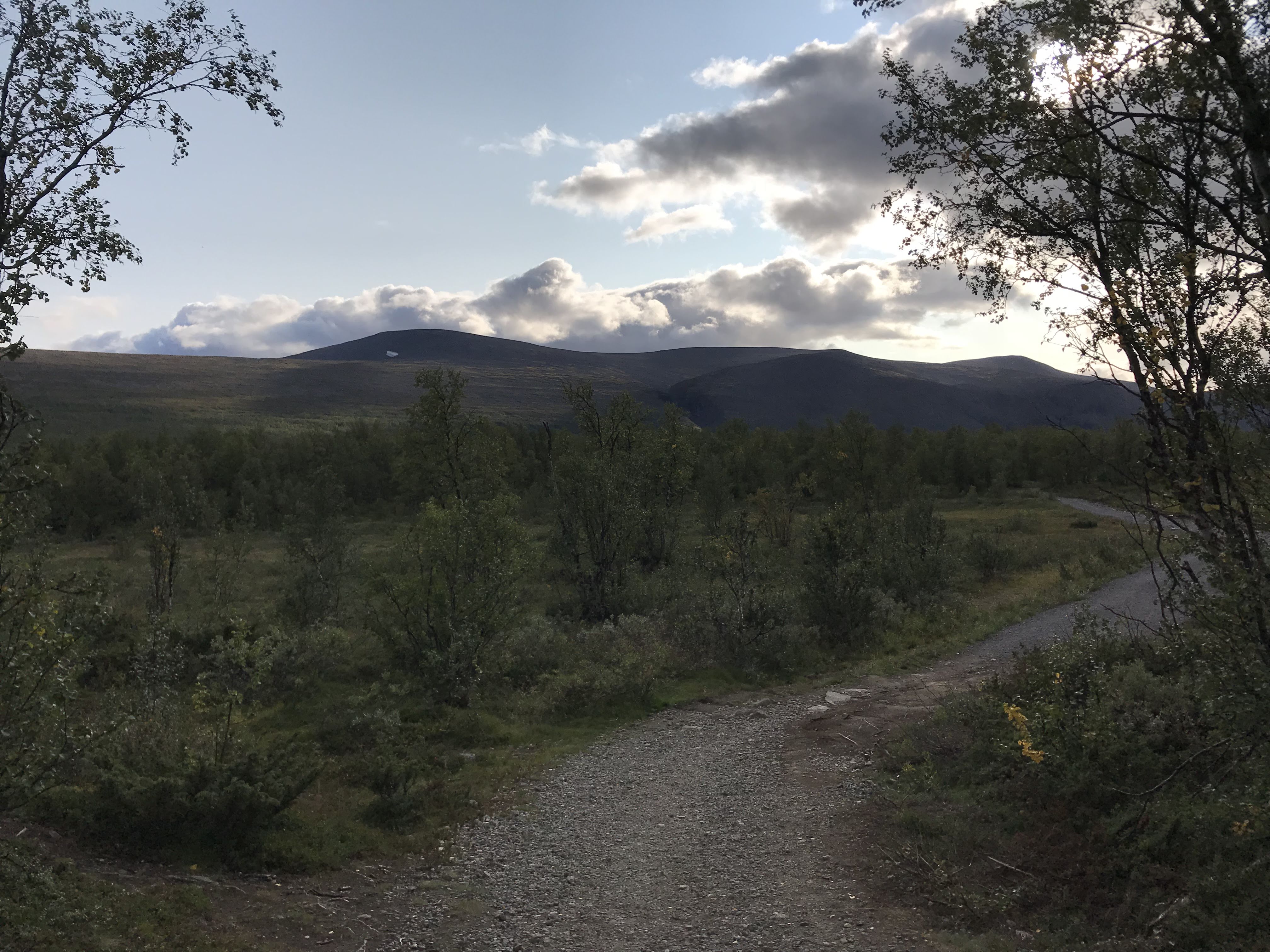
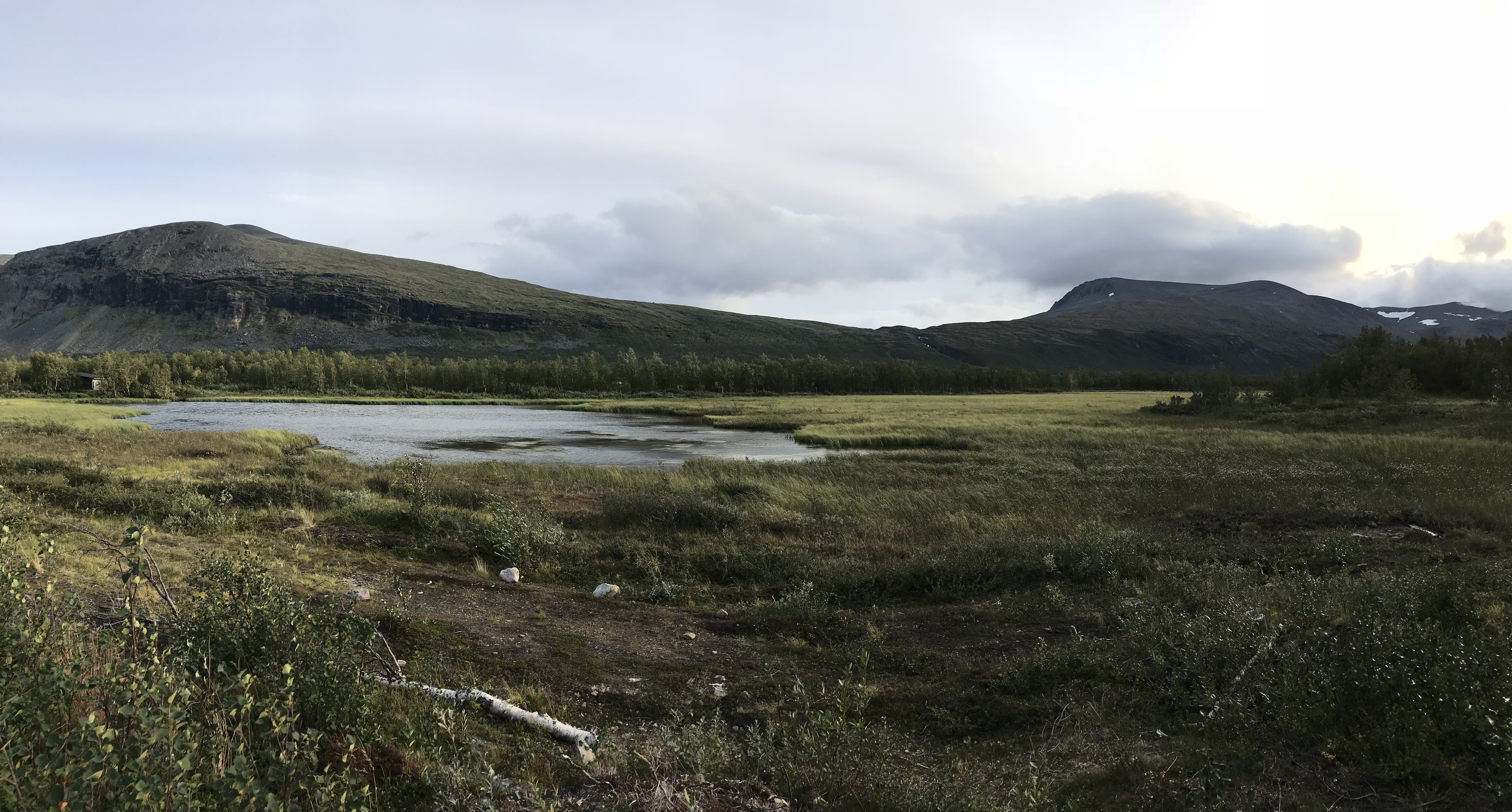
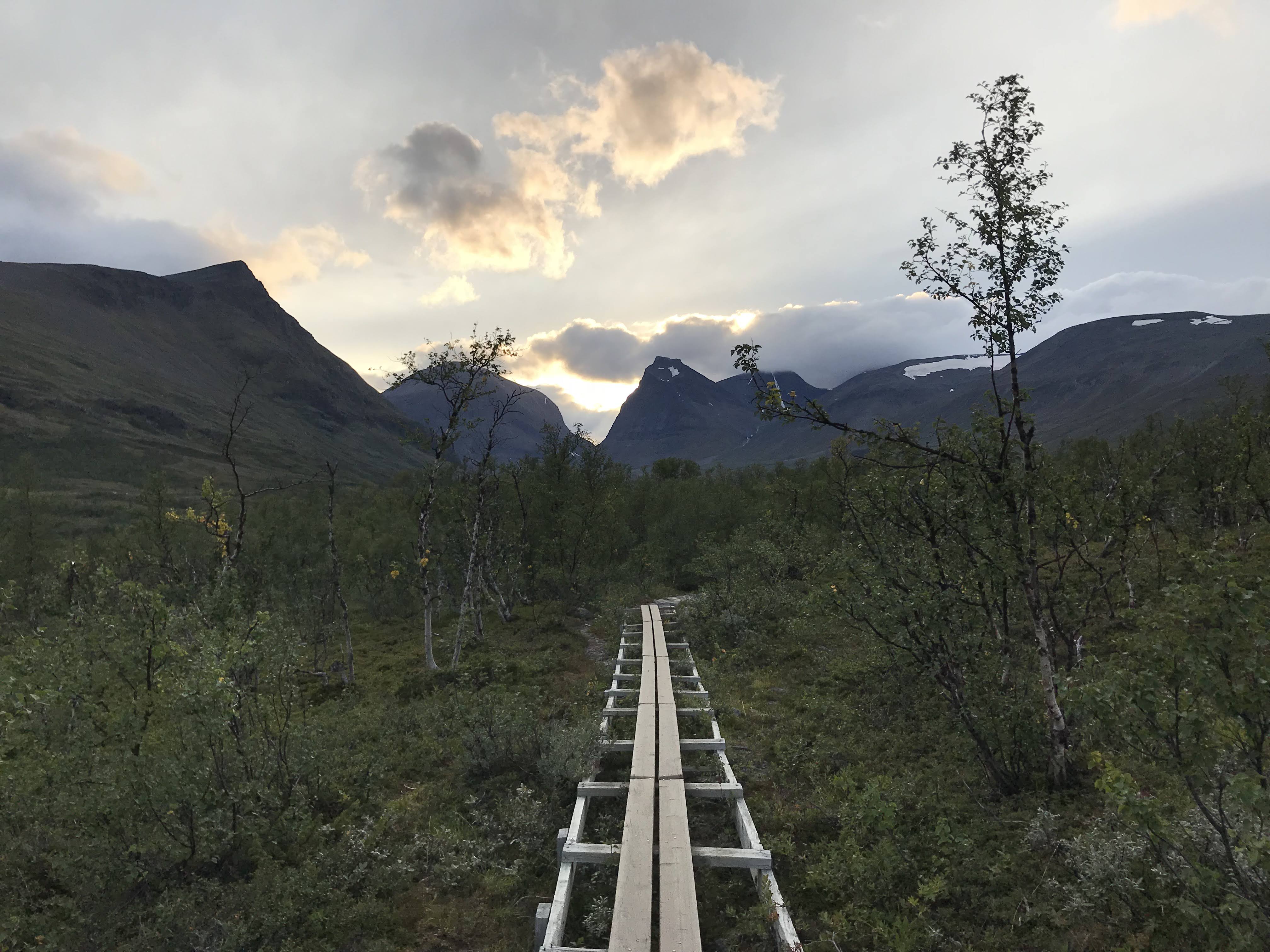
It’s a very scenic hike and I can’t recommend enough to take the full walk. It’s also very comfortable hike with close to elevation gain. You’ll be passing a lake, suspension bridges and if you’re lucky you’ll also see reindeers on the hike. Following are some photos I took on the way on this trail.


You can save 6 km hike along the lake, you can catch a ferry ride. The ferry routes are listed both in Nikkaluokta and at the lake. At the lake, you can also buy some food and drinks when the boats are running. On the other side of the lake, hike the remaining 7km to Kebnekaise fjellstation.
Another way to cut the hike short is to take helicopter from Nikkaluokta to Kebnekaise fjällstation, saves a lot of time, offers nice views but takes away sense of adventure.
This hike is 5-7 hours long, depending on your speed. So after finishing this hike, you’ll be ready to take a well deserve rest. Grab a nice, well deserved dinner at fjällstation and get to sleep early.
Fjällstation to Kebnekaise
From mountain lodge, there are two main routes to Kebnekaise,
- Østra leden (Eastern route)
- Vastra leden (Western route)
Western route
In this post, I will only cover the Western route in details. It’s 18 kilometer roundtrip and can take up to 10-12 hours. I suggest to start hike around 7:30 – 8:00 in the morning. Make sure to have a nice healthy breakfast. After a hike of 1.5 kilometers from fjällstation, the hike splits into two routes. Take the the main path to Western route that continues to left, or turn sharp right that continues to Eastern route.
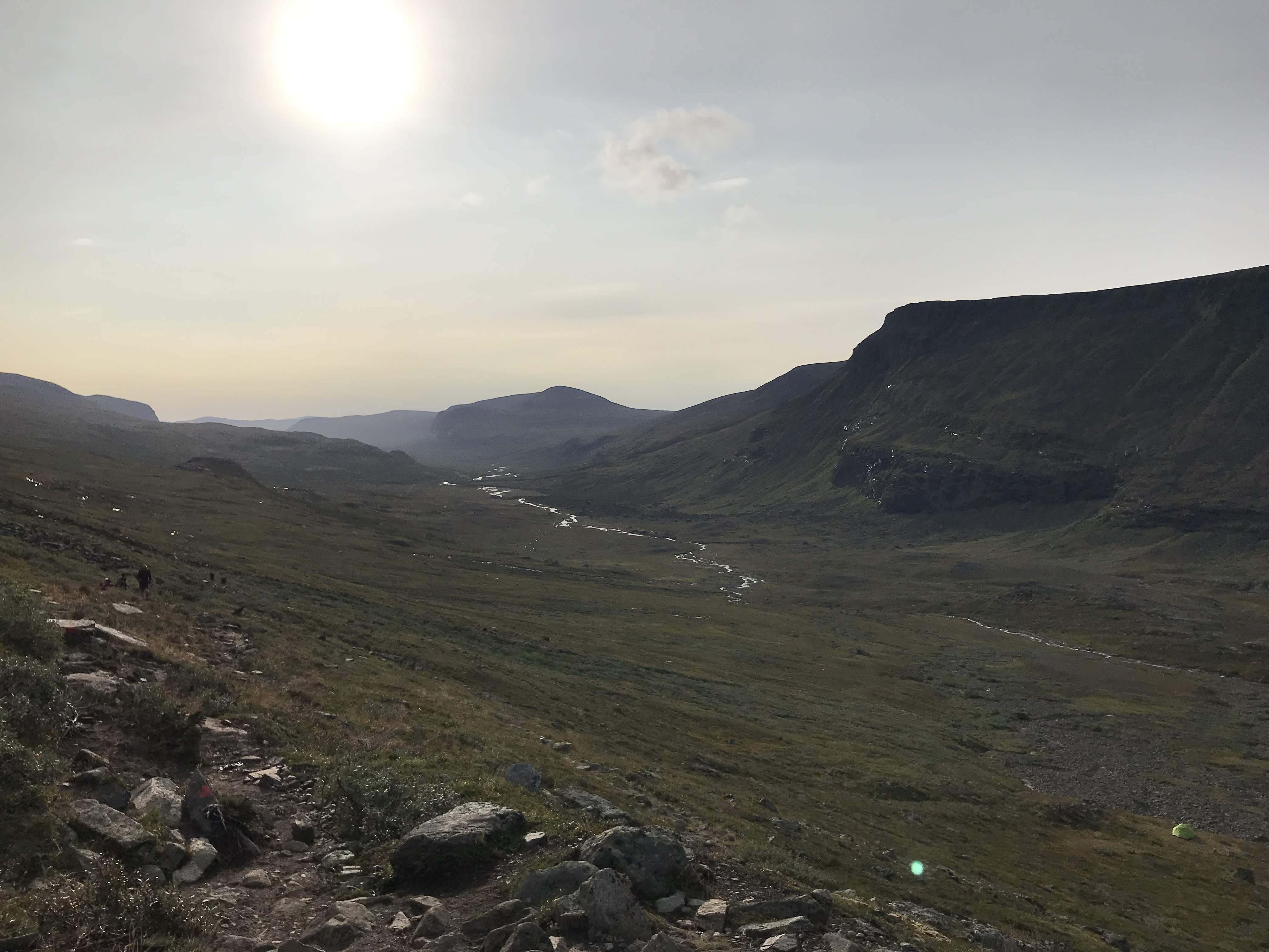

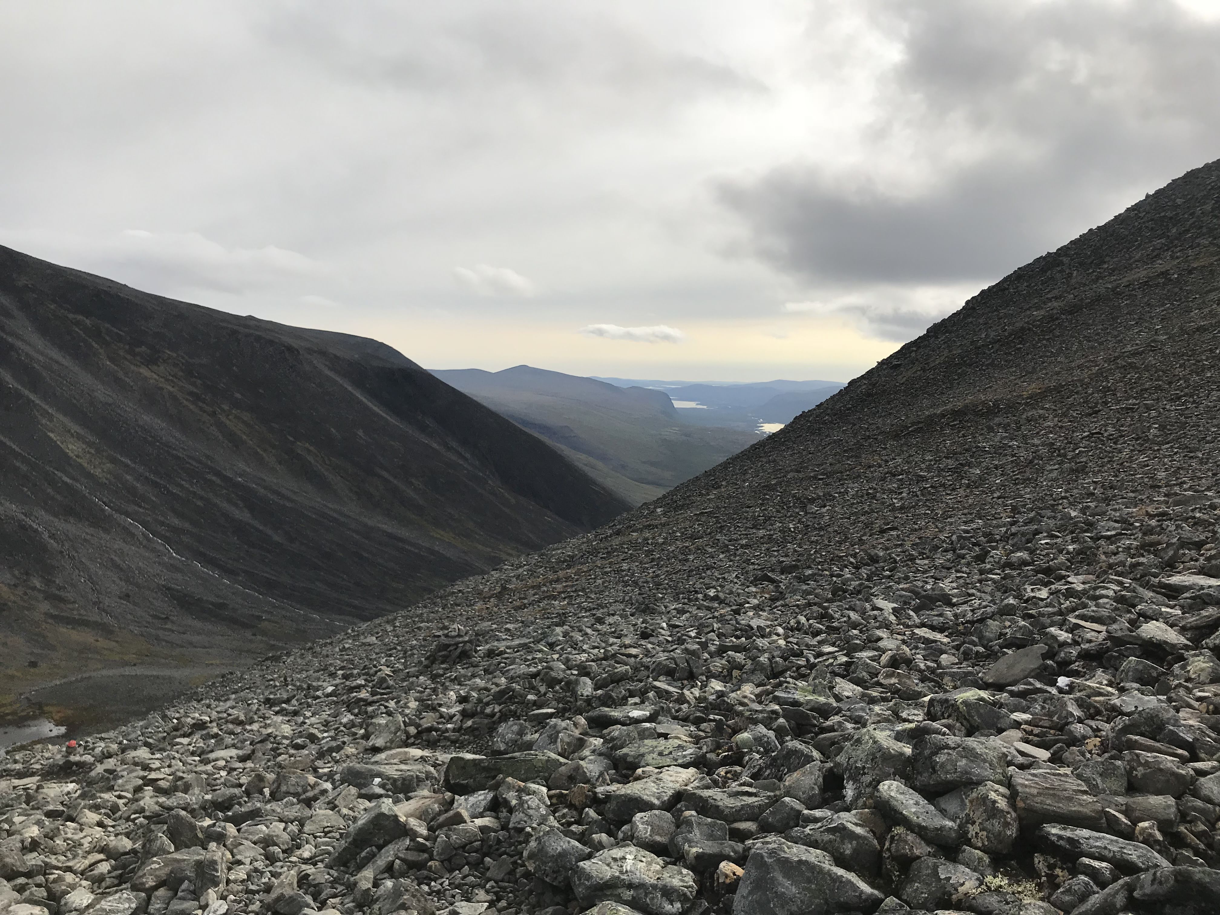
Hike for another 4 kilometers and you will reach the intermediate peak Vierranvárri. From here, the hike becomes a bit more challenging. Landscape also changes significantly. Here you will have to make a descent on scree and then ascend again.


Once you ascent again, the route gets snowy/icy. It’s another 2.5ish kilometer hike. Depending on weather, it can be quite a challenging hike. When I was there, the weather became extremely foggy with visibility of one a couple meters.
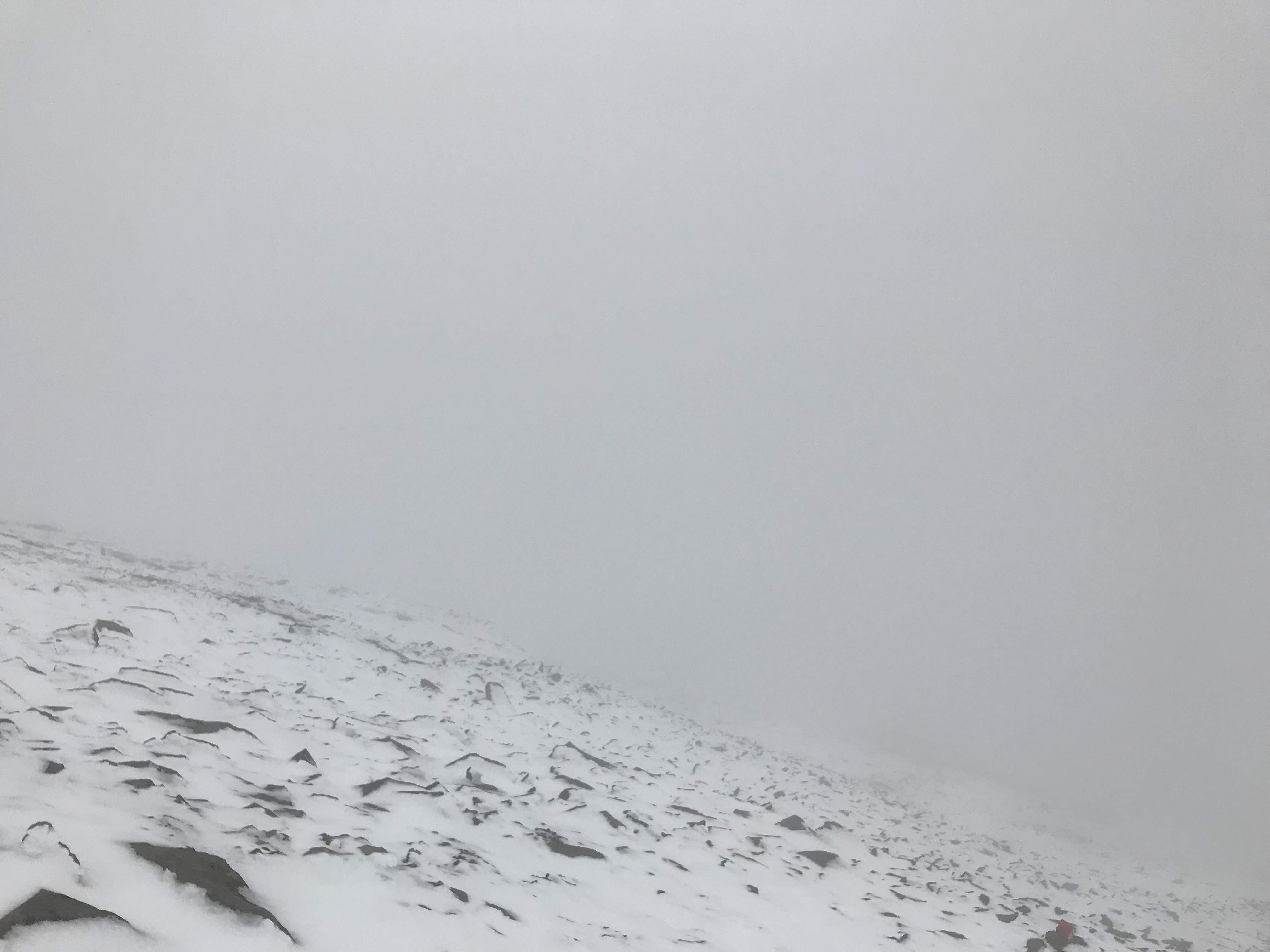

Just below the top plateau one encounters an old smaller cabin at 1,880 meters altitude. It can be used to make a small stay for lunch and get some rest. It’s still very cold inside the cabin but nonetheless, it provides shelter against wind.

The peak glacier is a small top, only tens of meters high, on a rocky plateau. To approach the actual mountain top on the glacier, I would strongly suggest crampons or at least walking sticks depending on snow conditions. I didn’t had either and had real difficulty climbing up. Thanks to hikers I met on the way, the lend me their walking sticks and only then I could successfully descend from peak.


Spend sometime on the peak. On a clear day, you can see quite far from the peak. For me it wasn’t the case but I still enjoyed reaching the summit. On the way back, you have to take the same tiring route back so you need to walk back fast.
Get to the fjällstation, have the second well deserved dinner and sleep. Next morning, I suggest to wake up early again and hit the trail back to Nikkaluokta after a nice breakfast. You can grab lunch at Nikkaluokta lodge and get the bus to Kiruna.
Kebnekaise: Climbing the highest peak of Sweden

Can I Climb Kebnekaise in November 1st week?
LikeLike
I only saw this question now. You can but you’d need alpine experience to do it in winter weathers. There could be lots of snow and it won’t be a simple hike.
Let us know if you went and how it went?
LikeLike