Recently, I found cheap flights from Amsterdam to Turin. I checked on Google Maps, and found a mountain named Rocciamelone close to Turin. So I bought the tickets and decided to hike mountain all the way to peak.
Rocciamelone is a 3,538 m high mountain in Piedmont, Italy, near the border between Italy and France. It is also the first mountain of the world for whom we have a certain first ascent date, and a name for the summiter – on Sept. 1, 1358 the local nobleman Bonifacio Rotario D’Asti ascended to the summit bringing a small metal image of the Holy Virgin, as a sign of gratitude for having survived slavery with the Turks.
As usual, I didn’t made any plans and didn’t had much idea about how I will navigate. Anyway, I checked the route on Google Map and made the plan the day before. Susa can be reached from Turin really easily. There is a train leaving from Porta Nuova Train Station of Turin every hour (from Platform 20). You can get the ticket for 5.50 Euros from station. It’s an hour long ride with many scenic views. Alternatively, you can rent a car and drive there.
Here is some information about hiking route. I would suggest August to be a good month from hiking as weather is nice and there is no snow on the mountain. Following are two options to hike to the peak!
1- Susa to Rocciamelone Hike
- Difficulty: Advanced
- Distance: ~30 Km
- Elevation gain: 3000 m
- Experience: 99.99%
- Days: 2-3
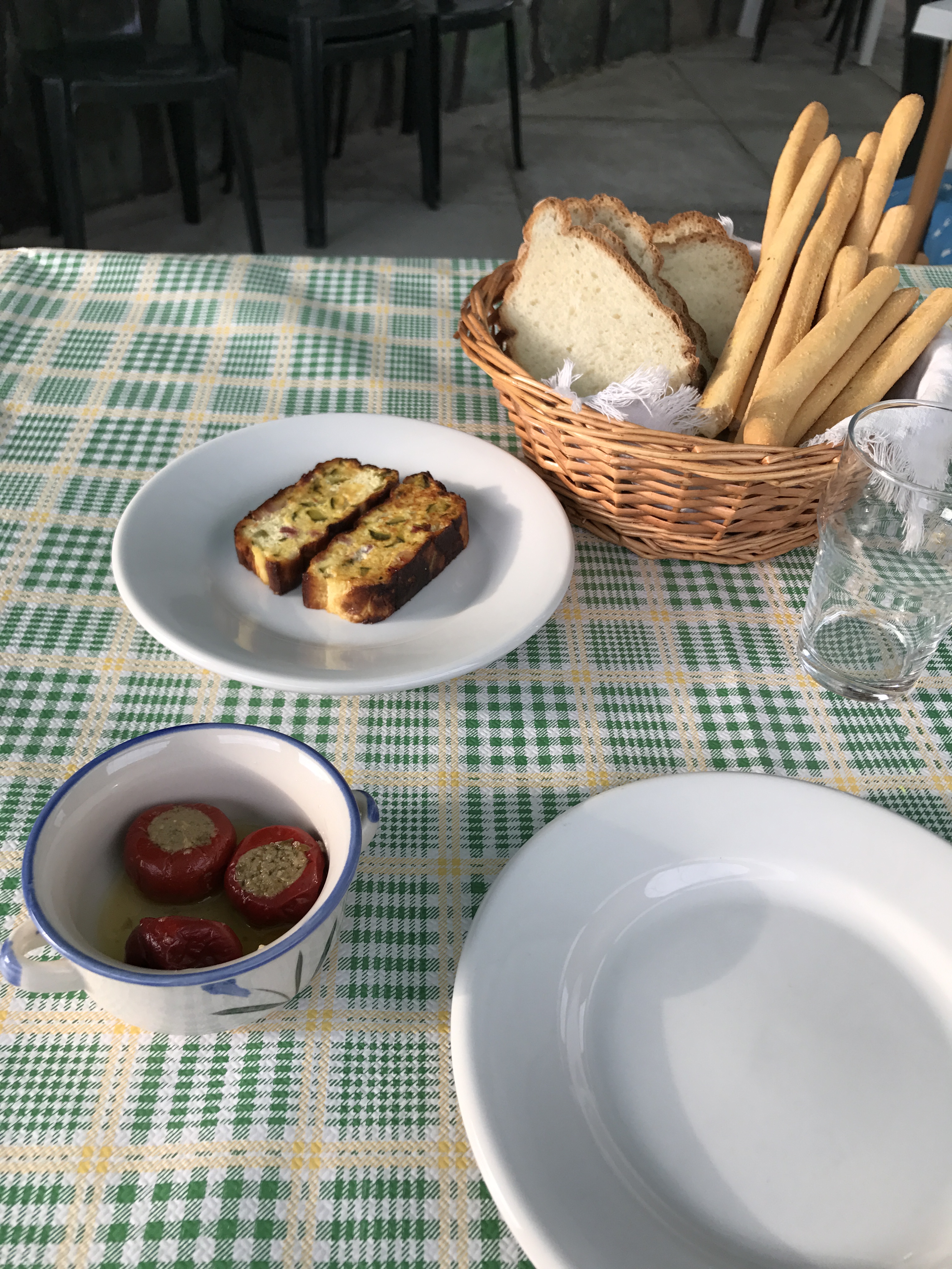
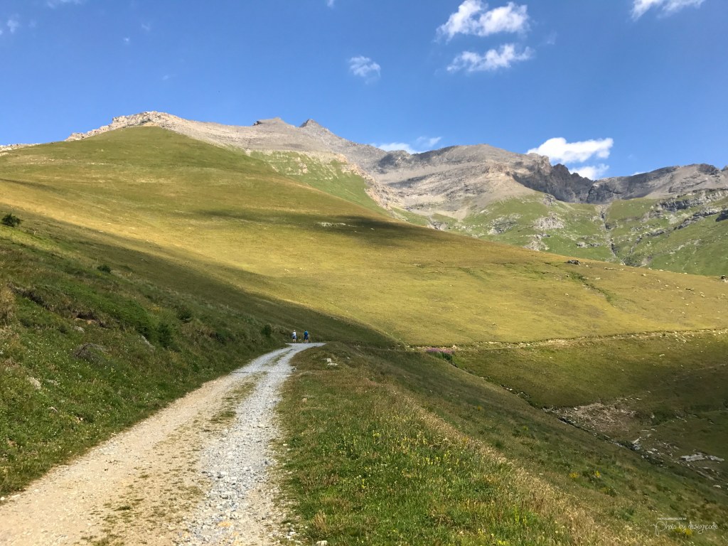
As you can see, there is a lot of hiking and elevation gain with this approach but trust me, it’s totally worth the effort. So basically, you start from town of Susa (Train station). I started hike in afternoon but I would recommend starting early, 8-9 in morning because hike is long and it can be really hot in afternoon. This is one of the longest part in the whole hike. Basically, you need to hike 15 kilometers with elevation gain of 1300 meters. Your first stop will be mountain hut named Rifugio Il Truc. I think it’s a good idea to call a day or two before to confirm that you’ll be staying here. Their phone number is +39 0122 32963. If they ask for dinner, say yes. Trust me, it’s really good.
You will pass through small towns Urbiano and Chiesa Madonna dell’Ecova (an abandoned catholic church).

After 3 hours of hike or so, you should reach Fontanella. It’s a place where you can sit on bench and re-fill your water bottles with tap installed there. Remember, at this point, you’ve done 40% of your hike. Now start again and hike for another 3-4 hours and reach the Rifugio. It’s run by family and they’re very hospitable. Take a shower and enjoy the awesome dinner and wine.
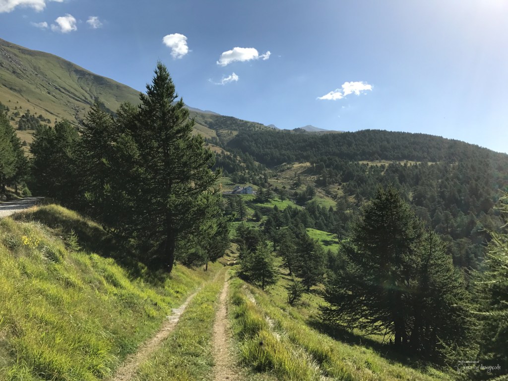
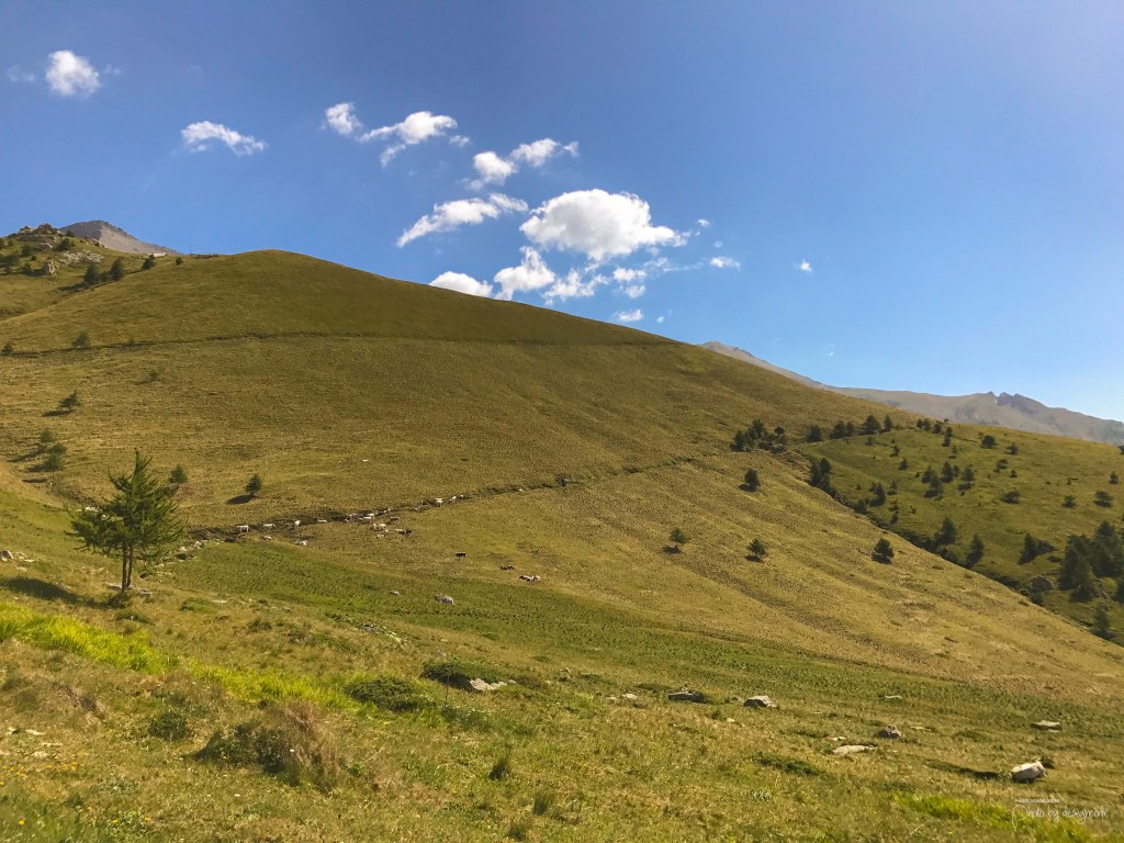
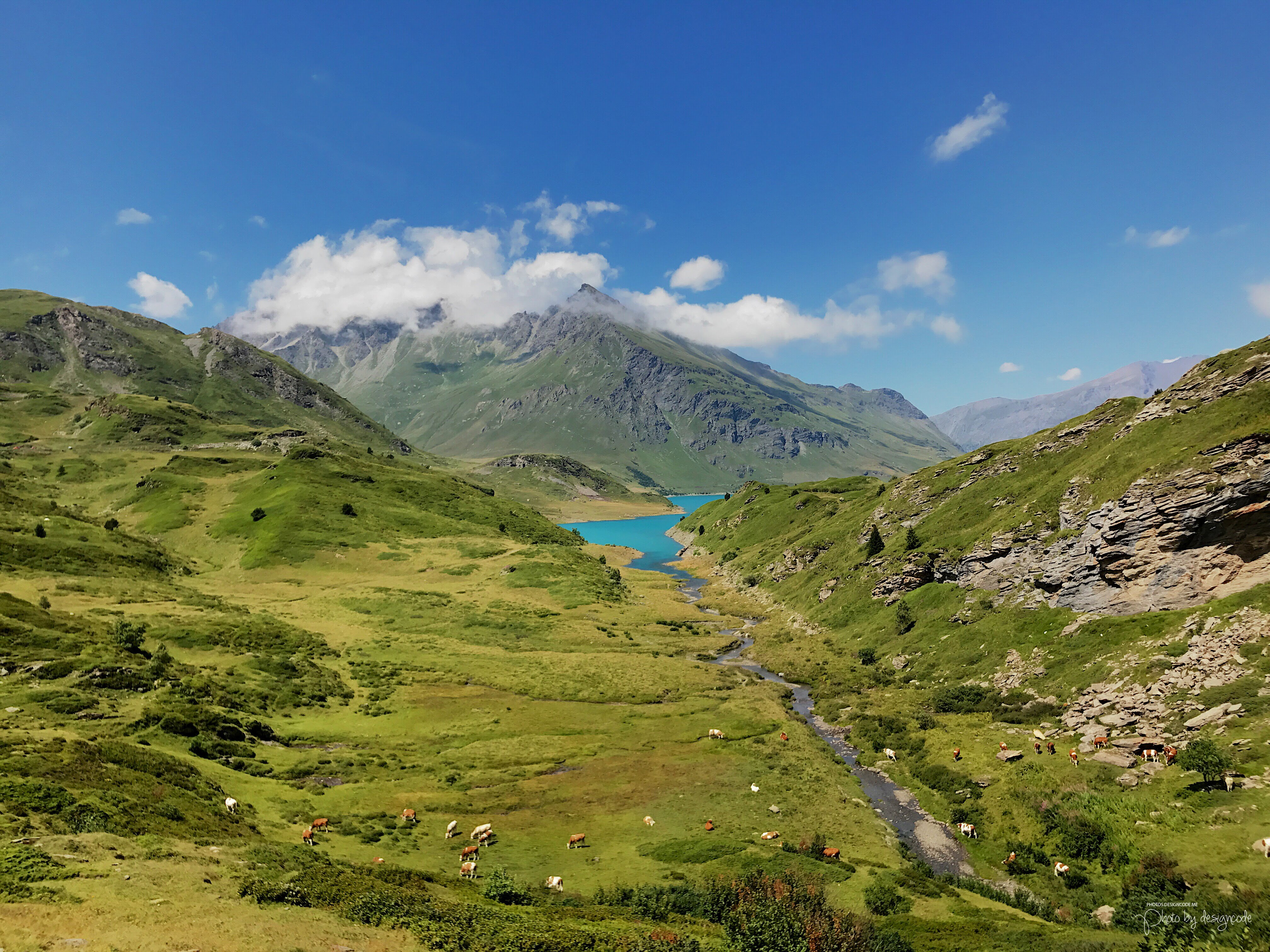
Spend the night there and leave early morning (7-8) for the next stop. That would another mountain hut called Rifugio La Riposa. You should arrive here in 1.5-2 hours depending on your speed. You will pass through some awesome views on the way,


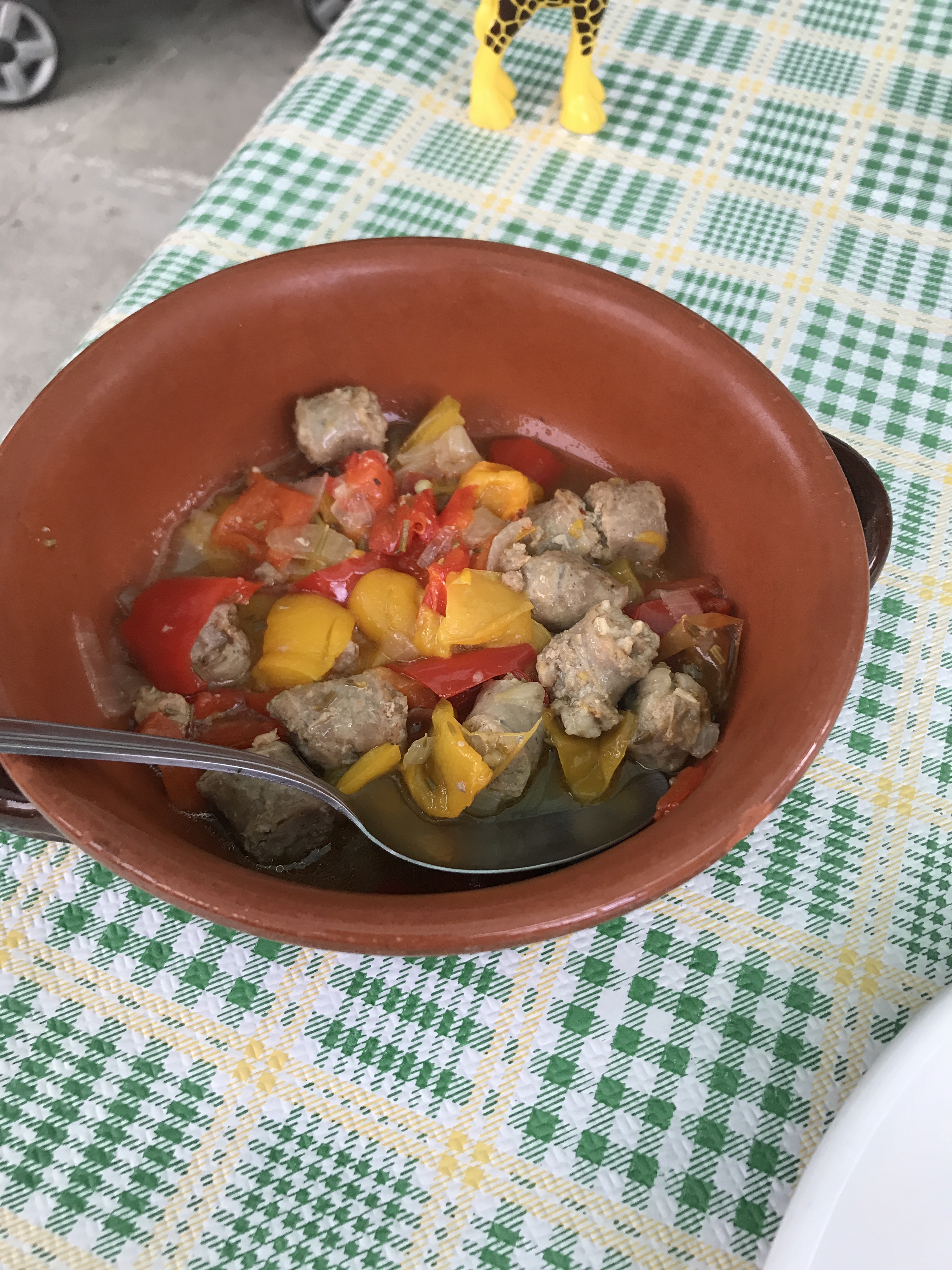
Grab your brunch here, the hut owner is a nice guy and can make your awesome pasta. Load those carbs and hit the trail again. Your next stop is Rifugio Ca’ d’Asti. It’s around 2 hours hike. Reach the hut, get a bit of rest as the elevation gain is around 650 meters and after getting a well deserved rest, you should be ready to push for the summit.

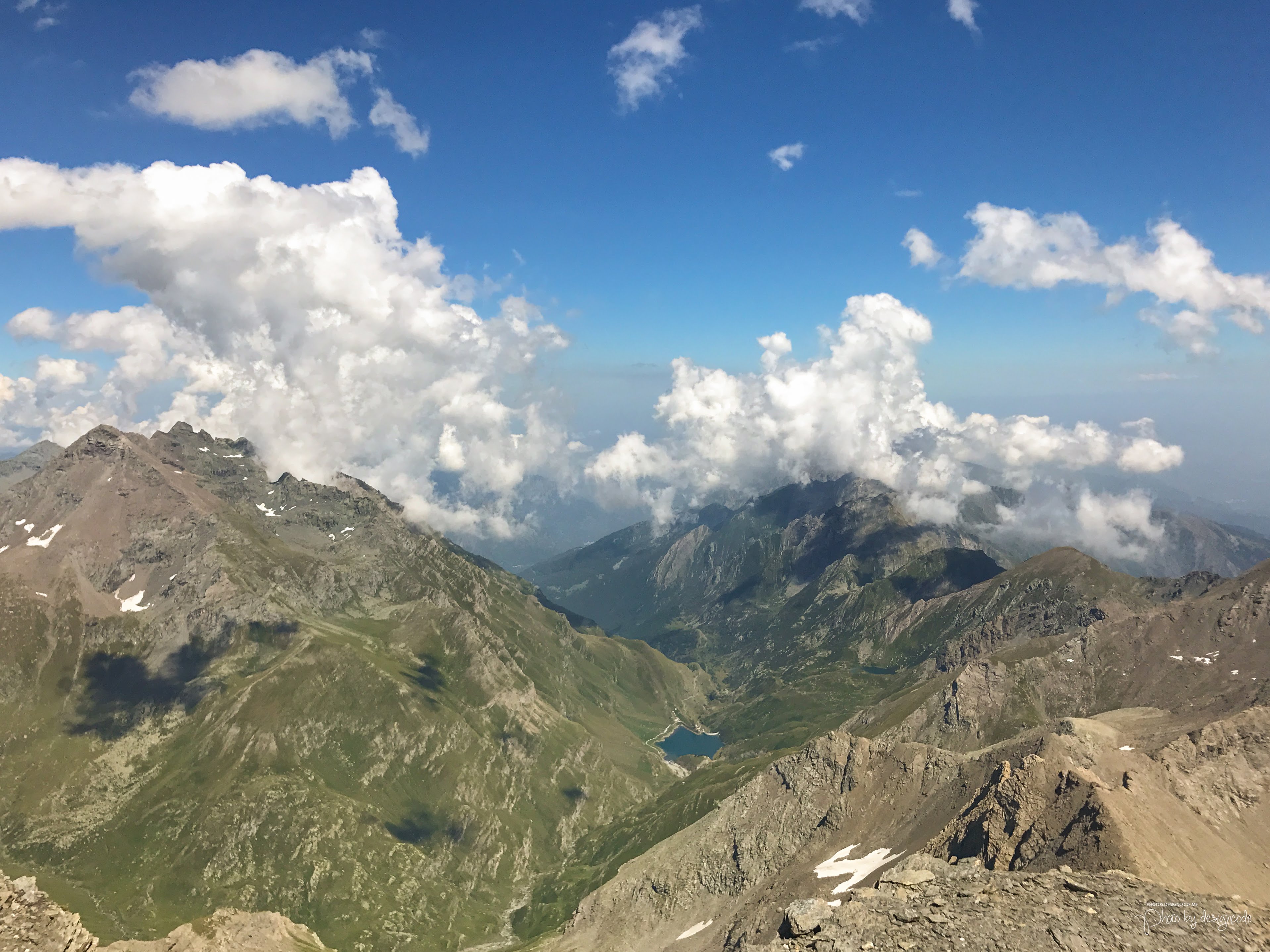
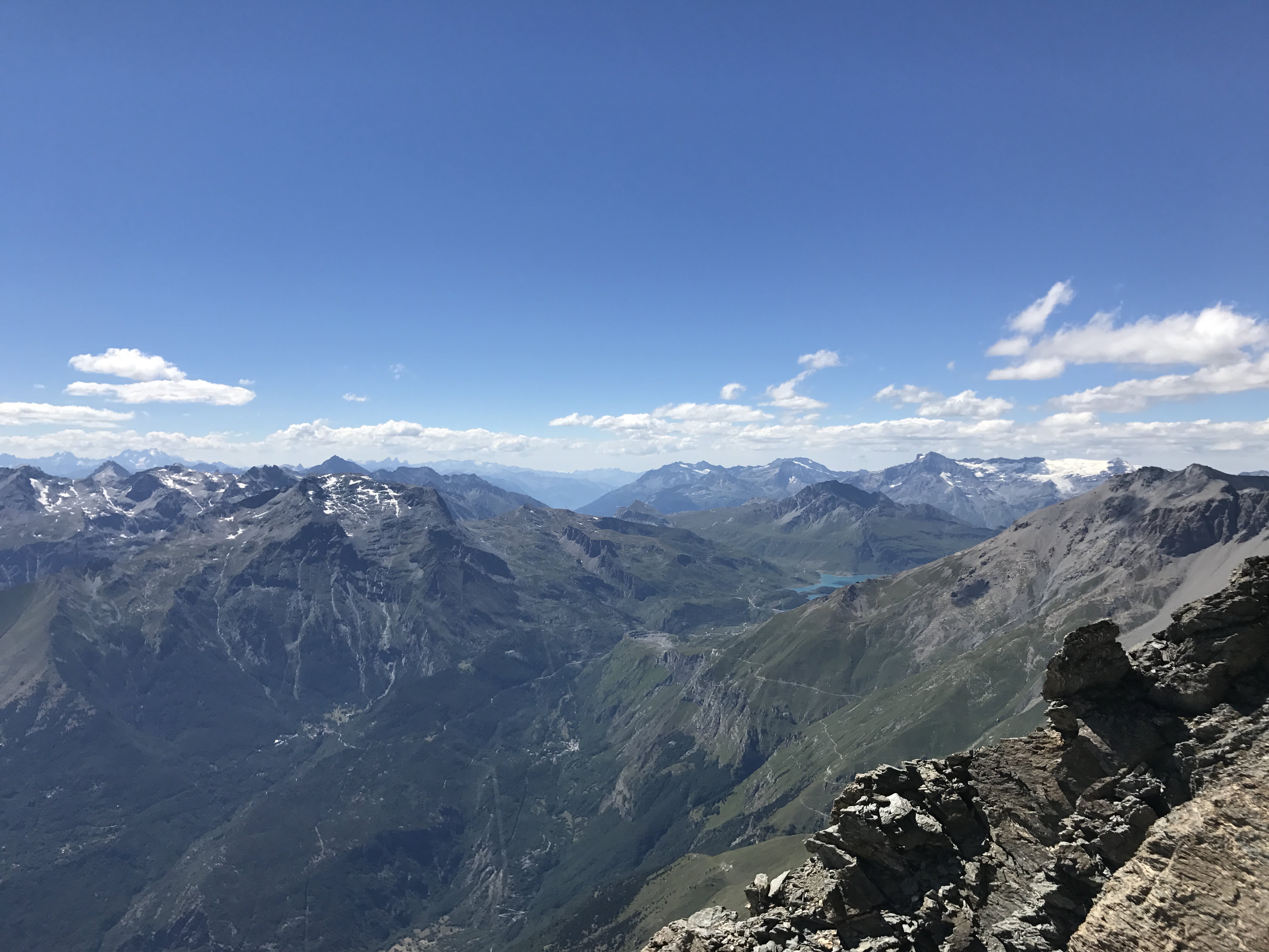
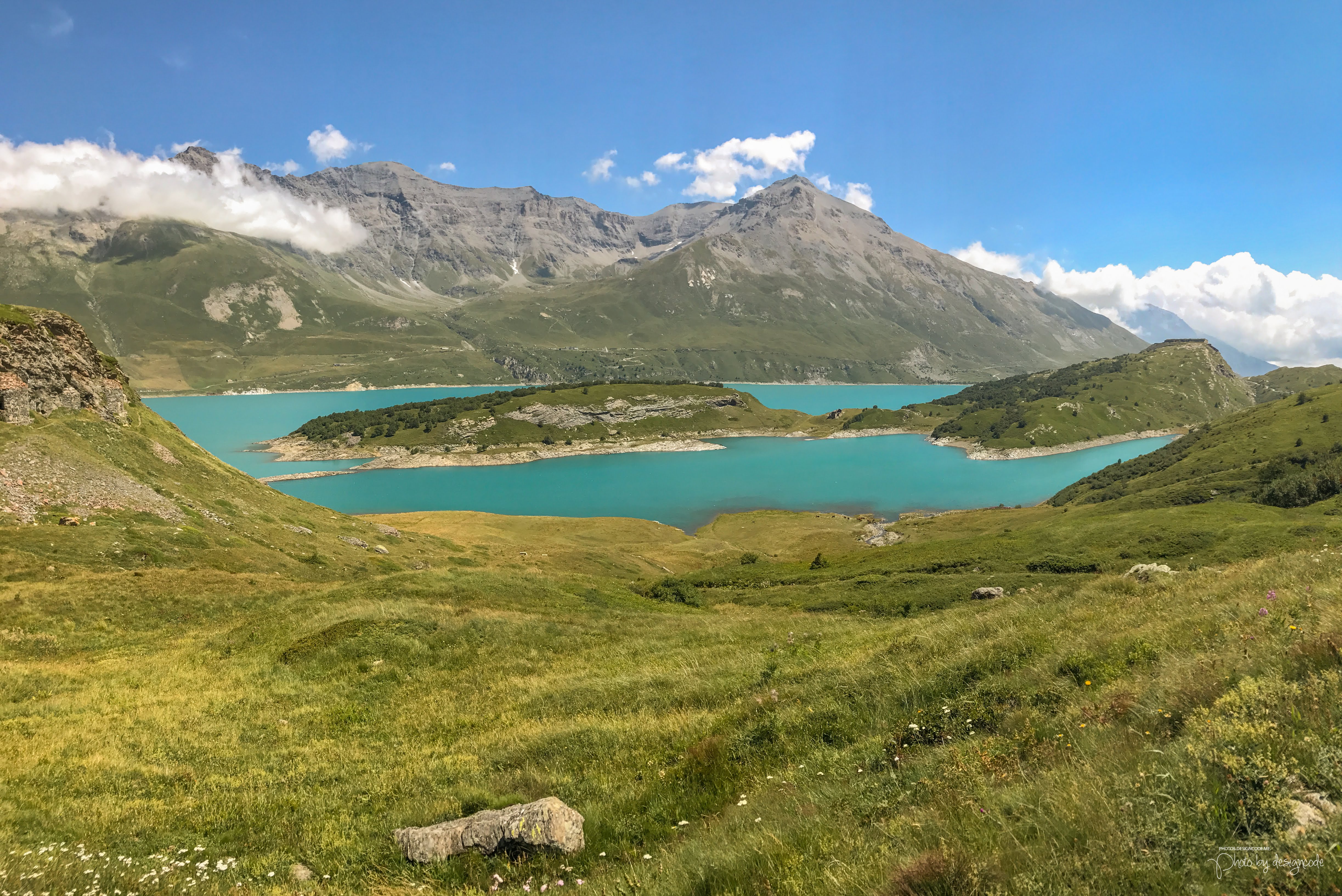
Another 2-3 hours and you should reach the peak. The peak has a 3 meters tall statue of the Blessed Virgin Mary was erected and offers amazing views of Glacier de Rochemelon as well as well lake “Lac du mont cenis”.

Spend sometime there and head back to Rifugio Ca’ d’Asti and spend night there. Next day, get up early and head down all the way to Rifugio Il Truc. Spend the night there and enjoy the delicious meals there again. Next morning, take a long hike back to beautiful town of Susa.
2- Drive to Rifugio La Riposa and Rocciamelone Hike
Another option is to drive all the way to car parking near La Riposa and hike from there. You can finish the hike in one day if you drive up there early in the morning. But as I always say, it’s better to take the longer route 🙂
Bonus: Cycle to Lac du Mont Cenis
If you still have any power left, in your legs, I highly suggest taking a bike trip to Lac du Mont Cenis, it’s across French border. It’s 24 kilometers one way bike ride and very tough when going back up. You can bike around the lake and getting back is very easy as you’re going back down!


Great post 😊
LikeLike